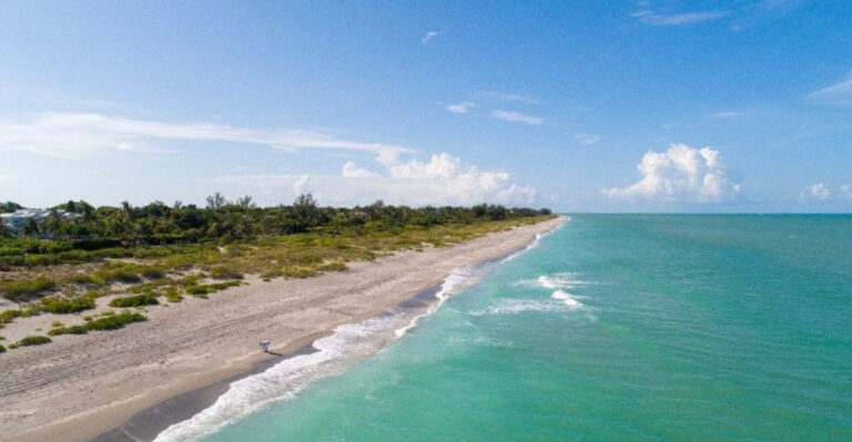
This 11-Mile Florida Drive Feels Like A Journey Through A Hidden Paradise
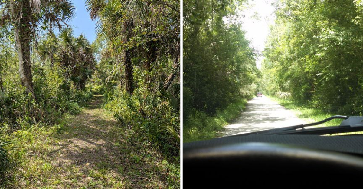
Hidden away in Southwest Florida lies a ribbon of road that most travelers never discover. Janes Memorial Scenic Drive stretches just 11 miles through some of the most untouched coastal wilderness you’ll find in the Sunshine State.
This narrow, winding route through Collier County delivers the kind of Old Florida experience that’s becoming harder to find, where mangrove forests meet turquoise waters and wildlife outnumbers people by a comfortable margin.
Ancient Mangrove Tunnels That Swallow the Sky
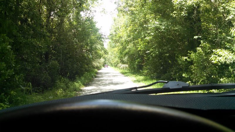
Picture driving through a living tunnel where mangrove branches arch overhead like cathedral rafters. The trees lean in from both sides, their twisted limbs creating a natural canopy that blocks out most of the sky.
Sunlight filters through in scattered beams, painting the pavement with moving patterns that shift as you roll forward.
These aren’t your typical roadside trees. Red mangroves dominate here, their distinctive prop roots rising from brackish water like wooden spiders frozen mid-step.
Some of these trees have stood for decades, growing slowly in the salty environment where most plants would wither. Their tangled root systems create nurseries for juvenile fish and shelter for countless birds.
The mangrove sections feel almost prehistoric, especially during early morning hours when mist hangs low over the water. You’ll notice the temperature drops several degrees once you enter these shaded stretches.
The air smells different too—a mix of salt, earth, and decomposing vegetation that’s oddly pleasant rather than offensive.
Keep your windows down and you’ll hear the constant rustle of leaves, punctuated by bird calls echoing through the branches. Herons and egrets nest in these canopies, their white plumage standing out against the deep green foliage.
During certain times of year, you might spot roseate spoonbills adding splashes of pink to the scene.
The road narrows considerably through these sections, with just enough room for two compact cars to squeeze past each other. There aren’t any shoulders to speak of, just mangrove roots dropping straight into murky water on both sides.
This forces you to slow down, which is exactly the point. Speed would ruin everything this drive offers.
Photographers love these tunnels for the dramatic lighting effects they create. Late afternoon produces the most striking contrasts, with golden light piercing through gaps in the canopy.
The interplay between light and shadow changes constantly, making each pass through feel slightly different from the last.
Ten Thousand Islands Viewpoints That Stretch to Infinity
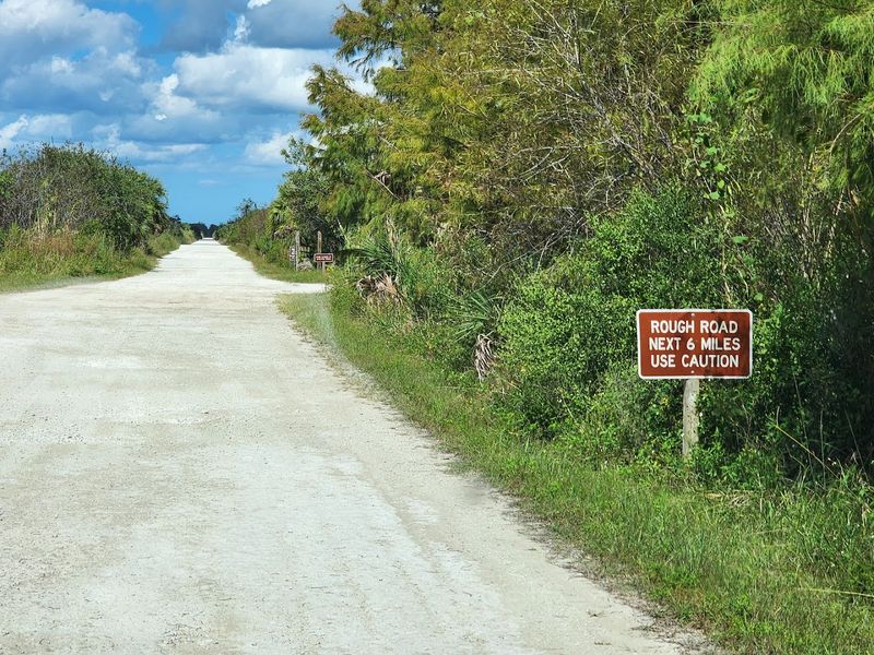
Stop at one of the designated pullouts and you’ll understand why early explorers named this region the Ten Thousand Islands. The view stretches endlessly, with small mangrove islands scattered across shallow waters like green puzzle pieces on a blue table.
Nobody’s actually counted all the islands, but standing here, infinity seems like a reasonable estimate.
Each island tells its own story of how land and water negotiate their boundaries. Some are barely larger than a car, supporting just a handful of mangrove trees.
Others span several acres, dense with vegetation that’s never felt a human footprint. The channels between them create a maze that’s challenged navigators for centuries.
The water color shifts constantly depending on depth, bottom composition, and cloud cover. You might see turquoise, emerald, sapphire, and jade all in one glance.
Shallow areas glow almost neon in direct sunlight, while deeper channels appear inky blue. When storms approach, the entire seascape turns pewter gray within minutes.
Dolphins patrol these channels regularly, their dorsal fins cutting through calm water as they hunt for mullet and other fish. If you’re patient and quiet, you might watch them work cooperatively, herding schools of fish into tight balls before attacking from below.
Their synchronized movements look choreographed, though it’s pure instinct honed over millions of years.
Manatees also frequent these waters, especially during warmer months. These gentle giants cruise slowly through the shallows, surfacing occasionally to breathe.
Their massive bodies seem impossibly graceful underwater, despite weighing up to 1,200 pounds. Spotting one from the roadside counts as a lucky day.
The horizon here feels different from other coastal views. There’s no distinct line where water meets sky—instead, they blend together in a hazy gradient that plays tricks on your depth perception.
Distance becomes meaningless when everything looks equally far away. Islands that appear close might be miles offshore, while others that seem distant could be within swimming range.
Sunset transforms these viewpoints into something magical. The sky ignites in oranges and pinks that reflect off the water, doubling the color intensity.
Wildlife Crossings Where Nature Owns the Pavement
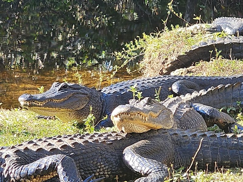
You’re cruising along when brake lights flash ahead. Traffic stops completely, and you crane your neck to see what’s causing the holdup.
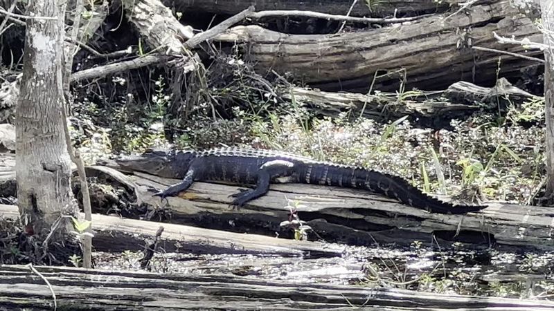
Then you spot it—a six-foot alligator taking its sweet time crossing the road, completely unbothered by the audience of stopped vehicles.
This happens regularly on Janes Memorial Scenic Drive. Alligators treat the pavement like their personal sidewalk, moving between feeding areas on either side.
They don’t hurry for anyone. Smart drivers wait patiently while these prehistoric reptiles lumber across, their thick tails swaying behind them like armored ropes.
Honking accomplishes nothing except marking you as a tourist.
Gators aren’t the only creatures who claim right-of-way here. Raccoons waddle across in family groups, babies following mother in single file.
Box turtles make agonizingly slow journeys that test everyone’s patience. Snakes—some harmless, others decidedly not—slither from one side to the other, their scales catching sunlight in iridescent patterns.
During spring and early summer, you might encounter a mother raccoon with a trail of kits behind her. She’ll stop mid-road if one of her babies falls behind, completely unconcerned about the metal boxes idling nearby.
Her confidence comes from experience—drivers here generally respect wildlife or face serious consequences from local law enforcement.
Bird crossings happen too, though they’re less dramatic. Roseate spoonbills sometimes walk across the road rather than fly, their pink plumage shocking against the gray asphalt.
Great blue herons stalk slowly from one side to the other, pausing mid-stride to scan for prey. They move with such deliberate grace that stopping feels like a privilege rather than an inconvenience.
The county installed special wildlife crossing signs along particularly active sections. These yellow diamonds feature black silhouettes of alligators, turtles, and other common crossers.
Some drivers ignore them, which explains the occasional tragic sight of flattened wildlife on the pavement. Respectful visitors heed the warnings and keep speeds low.
Nighttime brings even more crossers. Armadillos emerge after dark, their armored bodies surprisingly vulnerable to fast-moving vehicles.
Historic Oyster Shell Mounds Built by Calusa Hands
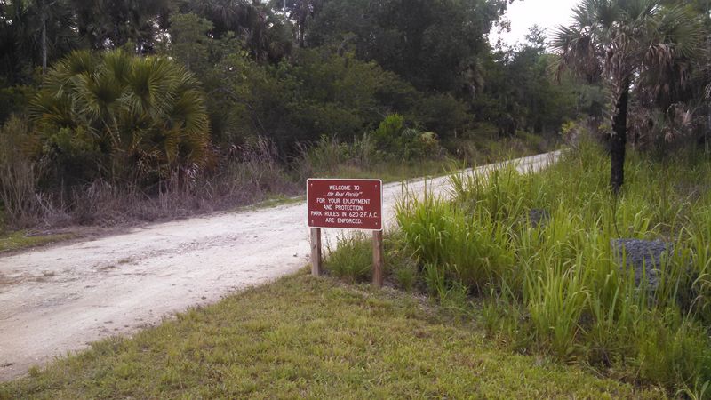
Scattered along the route, you’ll notice strange hills rising from the otherwise flat landscape. These aren’t natural formations—they’re massive mounds constructed entirely from oyster shells, left behind by the Calusa Indians who dominated this region for thousands of years.
Some reach heights of 30 feet, impressive engineering for a culture that worked without metal tools.
The Calusa built these mounds for multiple purposes. Some served as foundations for homes and temples, raising important structures above storm surge and flooding.
Others functioned as ceremonial centers where the tribe gathered for religious rituals. Still others were simply garbage heaps that accumulated over centuries, though calling them garbage feels disrespectful given their archaeological significance.
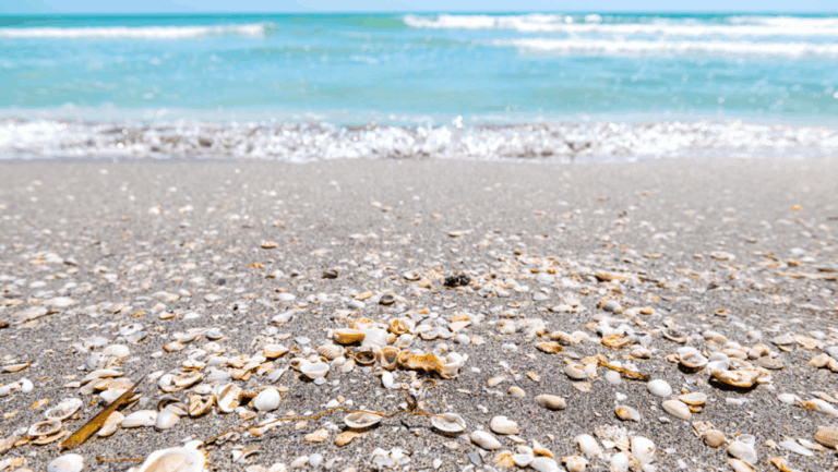
Walking up to these mounds, you’ll see shells everywhere—oyster shells primarily, but also clam, conch, and whelk shells mixed throughout. The sheer volume staggers the imagination.
Archaeologists estimate some mounds contain millions of individual shells, representing countless meals consumed over generations. Each shell was harvested by hand from the surrounding waters, shucked, eaten, and tossed onto the growing pile.
Vegetation now covers most mounds, with gumbo limbo trees, sea grapes, and various palms taking root in the calcium-rich soil. These trees grow differently here, their roots spreading through shell fragments rather than solid earth.
During dry periods, you can spot exposed shell layers where erosion has carved away the vegetation, revealing the mound’s composition.
Several mounds feature interpretive markers explaining Calusa history and culture. These panels describe a sophisticated society that thrived without agriculture, sustaining themselves entirely through fishing, shellfishing, and hunting.
The Calusa built extensive canal systems, crafted elaborate wooden masks and carvings, and developed a complex social hierarchy that impressed Spanish explorers.
Unfortunately, European diseases and conflicts decimated the Calusa population by the mid-1700s. The tribe essentially vanished, leaving behind only these shell mounds and scattered artifacts.
Standing beside these ancient structures, you’re touching history that predates European settlement by thousands of years.
Some mounds are protected archaeological sites with restricted access. Others allow careful exploration, though removing shells or artifacts is strictly illegal.
Secret Fishing Spots Where Locals Land Trophy Snook
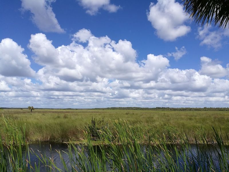
Locals know something visitors often miss—the best fishing in Collier County isn’t at crowded piers or expensive charter operations. It’s right here, at unmarked pullouts along Janes Memorial Scenic Drive where the road hugs the shoreline close enough to cast a line directly into prime feeding zones.
Snook are the trophy species here, silver-sided fighters that explode from the water when hooked. They lurk around mangrove roots and oyster bars, ambushing smaller fish that venture too close.
Landing a slot-sized snook—between 28 and 32 inches—from one of these roadside spots counts as a major accomplishment among local anglers. These fish fight like they’re twice their size, making screaming runs that test your drag and your patience.
Redfish patrol these waters too, their copper-colored backs visible as they cruise shallow flats during low tide. They’re less acrobatic than snook but equally challenging, using their broad tails to generate surprising power.
A 20-pound redfish will make you question your choice of fishing line, especially when it heads straight for the nearest mangrove tangle.
The beauty of these spots is their accessibility. You don’t need a boat, guide, or expensive equipment.
A decent spinning rod, some live shrimp or artificial lures, and basic knowledge of tides will put you in the game. Early morning and late afternoon produce the best action, when predator fish move into the shallows to feed.
Tarpon also show up seasonally, typically during spring and early summer migrations. Hooking a tarpon from shore ranks among fishing’s ultimate thrills.
These prehistoric-looking fish can exceed 100 pounds, and they’re famous for their aerial acrobatics. Landing one requires skill, strength, and considerable luck—most break off after spectacular jumps that leave anglers simultaneously frustrated and exhilarated.
You’ll recognize the productive spots by the worn paths leading from pavement to water’s edge. Local anglers have been fishing these locations for decades, passing knowledge down through generations.
Some spots have names known only to insiders—names you won’t find on any map or fishing app.
Respect is crucial here. Pack out everything you pack in.
Buttonwood Trees That Bend to Coastal Winds
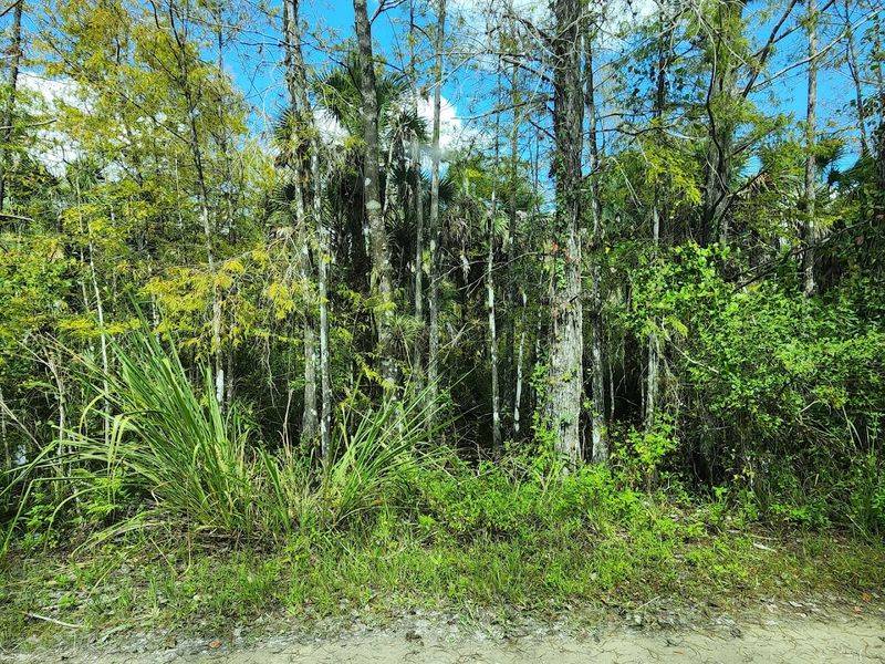
Something strange happens to trees that grow along this exposed coastline. Buttonwood trees, which normally grow straight and tall, develop wildly contorted shapes here.
Their trunks lean at impossible angles, permanently bent by decades of relentless coastal winds. Some grow almost horizontally before curving upward, creating natural sculptures that look deliberately arranged.
These trees adapt to survive in an environment that would kill most species. Salt spray burns their leaves.
Hurricane-force winds try to uproot them. Poor soil offers minimal nutrients.
Yet buttonwoods persist, developing thick, silvery bark that protects against salt damage and deep root systems that anchor them through storms.
The most dramatically shaped specimens grow right at the water’s edge, where they receive the full force of weather coming off the Gulf. Their branches all point inland, swept permanently backward like frozen flags.
During strong wind events, you can watch them bend and flex, their wood creaking audibly but rarely breaking. They’ve learned to yield rather than resist.
Buttonwoods serve important ecological functions beyond their aesthetic appeal. Their dense root systems stabilize shorelines, preventing erosion that would otherwise eat away at the road’s foundation.
They provide nesting sites for herons, egrets, and other wading birds that build large stick nests in the canopy. Their seeds feed various wildlife species during fall and winter.
The trees also create natural privacy screens, blocking views of the water in some sections while framing perfect vistas in others. This creates a rhythm to the drive—moments of enclosed intimacy followed by sudden expansive views.
The buttonwoods orchestrate this experience, controlling what you see and when you see it.
Photographers obsess over these trees, especially during golden hour when low-angle sunlight emphasizes their sculptural qualities. The silvery bark glows warm in evening light, contrasting beautifully with the darker mangroves behind them.
Black and white photography works particularly well here, emphasizing form and texture over color.
Some individual trees have become local landmarks, recognized by their distinctive shapes. There’s one about five miles in that locals call “The Dancer” because its trunk twists in a way that resembles a ballet pose.
Tidal Flats That Reveal an Underwater Universe
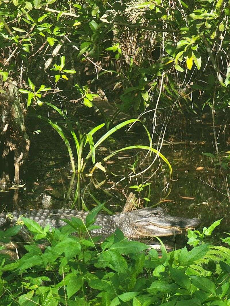
Time your visit with the tides and you’ll witness a transformation that happens twice daily. When water retreats during low tide, vast flats emerge from beneath the surface.
What looked like ordinary water hours earlier becomes an exposed landscape of sand, mud, and scattered seagrass beds stretching hundreds of yards offshore.
These flats teem with life that remains hidden during high tide. Hermit crabs scuttle across the mud, dragging their borrowed shells behind them.
Fiddler crabs emerge from burrows by the thousands, males waving their oversized claws in territorial displays. Wading birds patrol the shallows, stabbing their beaks into the soft bottom to extract buried prey.
Look closely at the exposed sand and you’ll spot tiny holes everywhere. Each hole represents a resident—a worm, clam, or shrimp living beneath the surface.
When water returns, these creatures extend feeding appendages to filter plankton and organic particles from the current. They spend their entire lives in this intertidal zone, adapted to survive both submersion and exposure.
Shallow pools remain scattered across the flats even at lowest tide. These temporary aquariums trap fish, shrimp, and crabs that couldn’t retreat with the receding water.
Wading into these pools—with proper footwear to protect against stingrays and sharp shells—offers incredible opportunities to observe marine life up close. Small snapper, juvenile mullet, and various species of killifish dart between patches of seagrass.
The seagrass beds themselves deserve attention. These underwater meadows produce oxygen, filter water, and provide nursery habitat for countless fish species.
Turtle grass dominates here, its ribbon-like blades waving gently in remaining current. Manatee grass grows alongside it, recognizable by its cylindrical leaves.
Both species face threats from pollution and boat traffic, making protected areas like this increasingly valuable.
Shorebirds work these flats methodically during low tide. Willets probe the mud with long bills, feeling for buried invertebrates.
Sanderlings race along the water’s edge, snatching tiny crustaceans exposed by retreating waves. Plovers pick delicately at the surface, their stop-and-go movement somehow both comical and efficient.
Osprey Nesting Platforms That Crown Every Pole
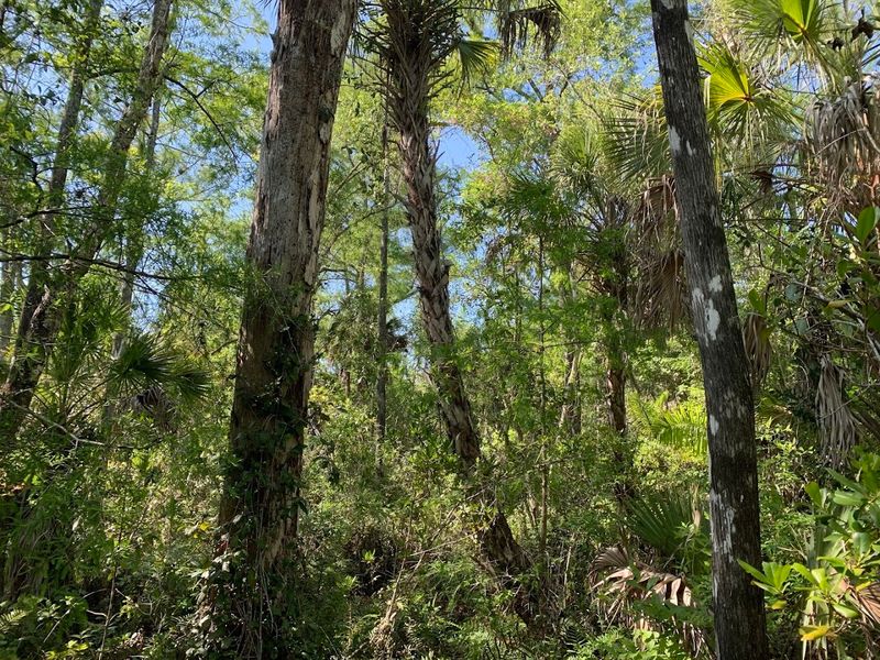
Every utility pole and navigation marker along this route seems to wear a crown of sticks. Ospreys have claimed virtually every elevated structure, building massive nests that grow larger each year as pairs return to add new material.
Some nests reach five feet across and weigh hundreds of pounds, engineering marvels constructed by birds using only their beaks and talons.
Watching ospreys hunt is pure entertainment. They circle high above the water, keen eyes scanning for fish swimming near the surface.
When they spot prey, they fold their wings and plunge feet-first, hitting the water with a splash that can be heard from the road. They emerge moments later, usually gripping a fish in their talons, water streaming from their feathers as they labor back into the air.
The birds carry fish head-first to reduce wind resistance—a detail that demonstrates their practical intelligence. They fly directly back to their nests, where mates and chicks wait eagerly.
During breeding season, you’ll hear constant chirping from nests as hungry chicks demand food. Parents make dozens of fishing trips daily to keep their offspring fed.
Ospreys mate for life, returning to the same nest year after year. Pairs arrive in late winter, spending weeks refurbishing their nests before egg-laying begins.
They’re fiercely territorial, driving away other ospreys and even attacking eagles that venture too close. Despite their smaller size, ospreys will dive-bomb bald eagles, striking them from above until the larger birds retreat.
The relationship between ospreys and humans here is remarkably tolerant. These birds nest directly above busy roads, seemingly unbothered by passing vehicles.
They’ve adapted to human presence, recognizing that people generally pose no threat. This allows for incredible viewing opportunities—you can watch complete hunting and feeding sequences from your car window.
Some platforms were installed specifically to attract ospreys, part of conservation efforts to provide safe nesting sites away from power lines. The strategy worked spectacularly.
Osprey populations have rebounded significantly since the DDT era when eggshell thinning nearly wiped them out. Now they’re common along coastal Florida, with particularly high concentrations in areas like this.
Hurricane Scars That Tell Stories of Survival
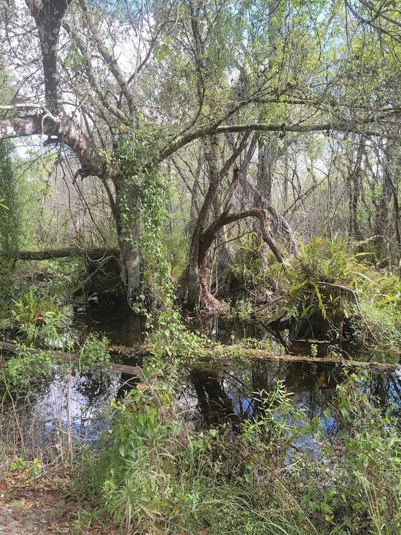
The landscape here carries visible reminders of storms that have roared through over the decades. Certain sections show clear evidence of hurricane damage—trees snapped mid-trunk, their tops lying where they fell years ago.
Mangroves stripped of leaves on their windward sides, creating asymmetrical growth patterns. Sections of road patched and repaired after storm surge undermined the original pavement.
Hurricane Irma in 2017 left particularly obvious marks. The storm pushed water across this entire area, flooding sections that rarely see saltwater.
Trees that couldn’t tolerate the extended saltwater exposure died standing, their gray skeletons now serving as perches for cormorants and anhingas. New growth surrounds these dead trees, nature filling gaps with species better adapted to occasional flooding.
Look closely at older mangroves and you’ll notice high-water marks on their trunks—lines of debris and discoloration showing how high storm surge reached. Some marks sit eight or ten feet above current water levels, testament to the ocean’s power when hurricanes push it ashore.
These trees survived by bending with the wind and tolerating temporary submersion.
The road itself floods regularly during major storms, becoming impassable for days or weeks afterward. County workers clear debris, pump out standing water, and assess structural damage before reopening the route.
This cycle has repeated countless times since the road’s construction, each storm teaching engineers new lessons about building infrastructure in vulnerable coastal zones.
Interestingly, hurricanes also create opportunities for certain species. Storm surge deposits nutrient-rich sediment across the landscape, fertilizing plants and triggering growth spurts.
Fallen trees open canopy gaps, allowing sunlight to reach the forest floor and stimulate understory vegetation. Some birds and fish actually benefit from the habitat changes hurricanes produce.
Local residents view storms with a mixture of respect and resignation. They know hurricanes will come—it’s simply a question of when and how strong.
Homes and businesses prepare accordingly, with storm shutters, elevated construction, and evacuation plans. The landscape reflects this reality, shaped by forces that dwarf human attempts at control.
Driving through hurricane-scarred sections provides perspective on nature’s raw power and resilience.
Sunset Overlooks That Paint the Sky in Impossible Colors
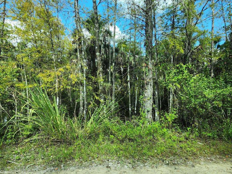
Ask any local photographer where to catch the best sunsets in Collier County and they’ll probably mention this drive. Something about the western exposure, the water’s reflective qualities, and the lack of development creates sunset conditions that belong on postcards.
The sky doesn’t just turn orange—it ignites in layers of color that seem almost artificial in their intensity.
The show typically begins about 30 minutes before the sun actually touches the horizon. Clouds start glowing from beneath, their undersides painted in shades of pink and gold.
The water picks up these colors, doubling their impact through reflection. Islands scattered across the bay become black silhouettes against the illuminated sky, their shapes simplified into pure form.
As the sun drops lower, colors intensify and shift. Orange deepens to crimson.
Pink evolves into magenta. Yellow highlights turn golden, then amber, then bronze.
The progression happens quickly—you can literally watch colors change minute by minute. This is why photographers set up early, unwilling to miss a single stage of the transformation.
The moment the sun touches the water is called the “green flash” opportunity, though the phenomenon rarely appears. When atmospheric conditions align perfectly, a brief green flash occurs just as the last sliver of sun disappears below the horizon.
Most evenings don’t produce this effect, but dedicated sunset watchers keep hoping.
After the sun sets, the show continues. The sky remains illuminated for another 20 to 30 minutes, colors gradually fading from vibrant to pastel.
Purples and deep blues emerge in the eastern sky, creating a gradient that stretches from warm to cool across the entire dome overhead. Stars begin appearing one by one, first the brightest, then dimmer ones as darkness deepens.
Several designated overlooks provide perfect sunset viewing, with enough space for multiple vehicles to pull off safely. These spots fill up on clear evenings, especially during winter when tourists flock to Southwest Florida.
Regulars arrive early to claim their favorite positions, often bringing folding chairs and beverages to enjoy while waiting.
Weather dramatically affects sunset quality. Scattered clouds produce the most spectacular displays, catching and scattering light in multiple directions.
The Return Journey When Light and Landscape Transform
Most visitors drive Janes Memorial Scenic Drive once and call it done. That’s a mistake.
The return journey offers a completely different experience, especially if you time it for different light conditions. Morning light comes from the east, illuminating the western-facing shoreline differently than afternoon sun.
Evening light transforms everything again, casting long shadows and warming colors.
Driving the same route in opposite directions reveals details you missed the first time. That hidden pullout you passed becomes obvious when approaching from the other direction.
The osprey nest you barely noticed catches your attention when lit from a different angle. The mangrove tunnel that felt dark and enclosed suddenly appears more open, its architecture revealed by changed perspective.
Wildlife activity shifts throughout the day, so returning at different times increases your chances of diverse sightings. Alligators bask in morning sun but retreat to shade by afternoon.
Dolphins feed actively during certain tide stages. Birds follow their own schedules, with some species active at dawn while others hunt at dusk.
Multiple passes improve your odds of catching nature’s various performances.
The return journey also allows you to stop at places you passed earlier. That interesting shell mound deserves a closer look.
That fishing spot where you saw someone land a snook might be worth trying yourself. That overlook where light wasn’t quite right could be perfect now.
Having already seen the entire route, you can make informed decisions about where to invest your time.
Familiarity breeds appreciation rather than contempt on this particular road. Second and third drives reveal subtleties that escaped your initial attention.
You start recognizing individual trees, specific bends in the road, particular sections where wildlife appears most frequently. The drive becomes less about covering distance and more about noticing details.
Photography especially benefits from multiple passes. Serious photographers often drive this route dozens of times, learning how light behaves in different seasons, weather conditions, and times of day.
They identify specific spots that work best for sunrise versus sunset, overcast versus clear skies, high tide versus low tide. This knowledge comes only through repetition.
Even if you’re not a photographer, the return journey offers value through simple repetition.